“We last saw this much storage increase in a week in 2017.”
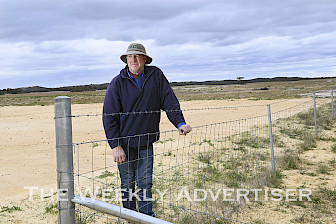
Mr Wilson said all reservoir levels had increased after the widespread rain and Moora Moora Reservoir in the Grampians was likely to overflow and ultimately spill into Rocklands Reservoir.
“Levels have increased across the board and the amount varies depending on where the rain has fallen. But it has been positive and promising and pushed us along quite nicely in the right direction,” he said.
“We still have plenty of capacity to take more water and we’ll be relying on more follow-up rain to keep things flowing. Flows can drop away quite quickly and we will watch the weather forecasts quite closely.”
Mr Wilson said all storages held good reserves of water.
“We already had secure farm and domestic supply. Further rain just increases security of supply for further years,” he said.
“But I would still love to see the storages full and we’ll take any rain we can get.
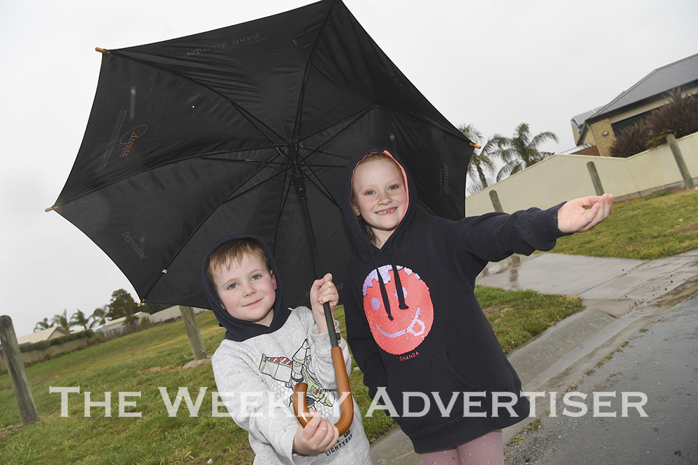
“What people have to remember is that reservoir levels are dependent on rain. If we don’t get rain, storage levels fall. The types of rain events we saw last week really drive inflow into these lakes.”
Mr Wilson said GWMWater kept a close look on data provided by the region’s relatively new Rainbow Radar.
“With up-to-date radar information we can look where a system is moving as it happens and where rain is or is likely to hit the catchment,” he said.
“When we were relying on Mt Gambier radar we wouldn’t see much of the weather system as it approached.”
The Bureau of Meteorology has released a severe weather outlook for October to April, showing an increased risk of flooding for eastern Australia and tropical cyclones in the north, with roughly average potential for heatwaves and severe thunderstorms.
The Bureau of Meteorology has predicted that a La Niña weather system, the opposite of an El Niño, is likely to bring more rain than usual to eastern and northern Australia from October to April next year.
– Dean Lawson
The entire October 14, 2020 edition of The Weekly Advertiser is available online. READ IT HERE!